3D GeoJSON Map Simulator
An interactive, high-end web application that renders geographical boundary coordinates into volumetric 3D extruded mesh models directly in your browser.
Key Features
Designed with state-of-the-art WebGL tech stack and interactive design systems
Interactive Styles
Fully customize colors, boundaries, lighting, auto-rotations, and choose premium style presets like Cyberpunk or Glassmorphism.
On-Demand Database
Instantly load lightweight split files for Continents, Countries, States, and Thai Provinces/Districts to render maps on the fly.
GLTF 3D Exports
Export your tailored 3D geometries directly as self-contained GLTF 2.0 files ready to use in Blender, Unity, or other 3D software.
Render Gallery
High-resolution captures of 3D maps generated by our engine
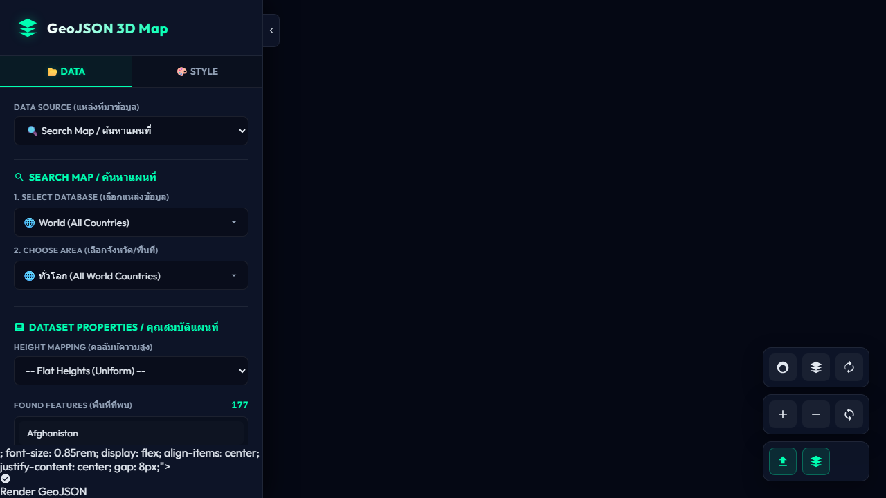
World Map / แผนที่โลก
Global 3D continent boundaries fit scaled and rendered on our horizontal coordinate grid.
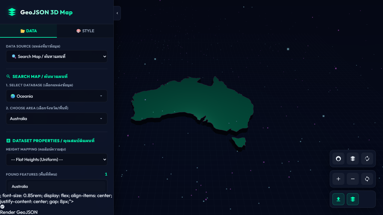
Oceania (Australia)
Detailed outline of Australia's regional states extruded and rendered in Cyberpunk style.
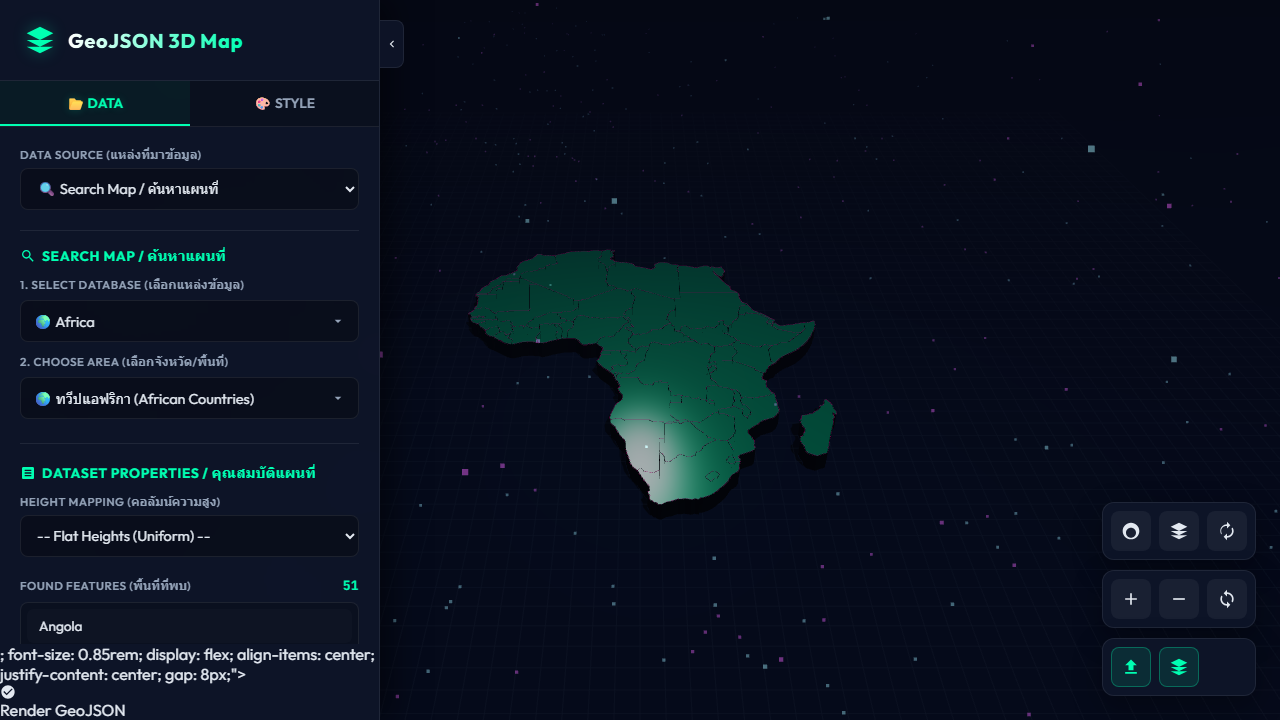
Africa continent / ทวีปแอฟริกา
Render showing all independent African countries projected and extruded with uniform heights.
⚡ Developer API (JSON to GLTF)
Automate 3D model generation on the backend. Send your GeoJSON data via POST request and receive a valid, structured, standalone 3D GLTF model.
-H "Content-Type: application/json" \
-d '{
"geojson": "...",
"height_property": "pop_density",
"extrusion_scale": 10.0,
"base_color": "#00ffb2"
}'